Bosnia and Herzegovina Hiking Map – Via Dinarica
This hiking map of Bosnia and Herzegovina highlights the country’s top trails, including the renowned Via Dinarica, a world-famous long-distance route connecting the Dinaric Alps.
Bosnia and Herzegovina Hiking Map – Via Dinarica
This hiking map of Bosnia and Herzegovina highlights the country’s top trails, including the renowned Via Dinarica. Via Dinarica is a world-famous long-distance route connecting the Dinaric Alps.
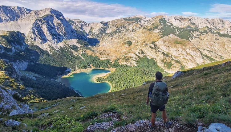
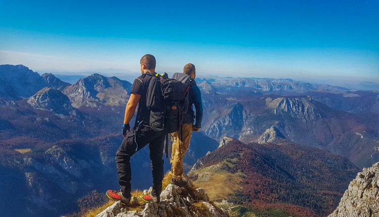
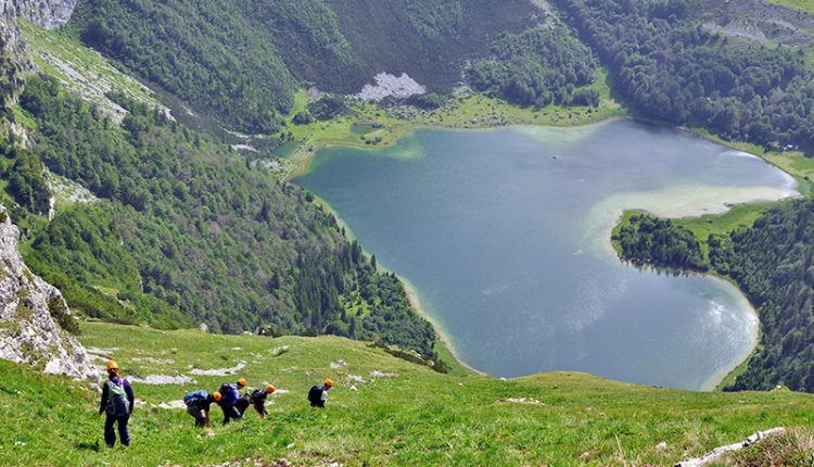
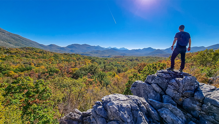
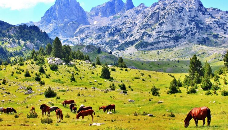
Discover breathtaking hikes through Sutjeska National Park, home to Maglić Mountain, Bosnia’s highest peak. Discover the pristine Perućica Forest with its majestic Skakavac Waterfall. Traverse the rugged beauty of Prenj Mountain, often referred to as the “Bosnian Himalayas,” offering challenging climbs and stunning views. Explore the scenic trails of Bjelašnica and Jahorina Mountains, perfect for hikers of all levels. Follow routes through Blidinje Nature Park, featuring Čvrsnica Mountain and the glacial Blidinje Lake.
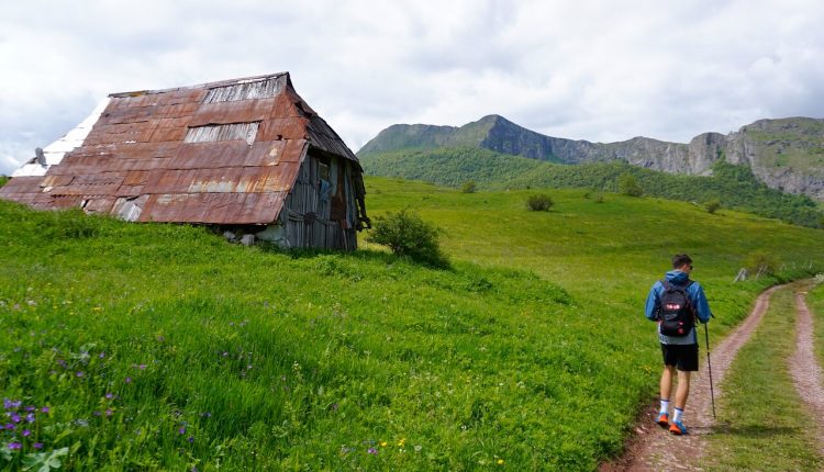
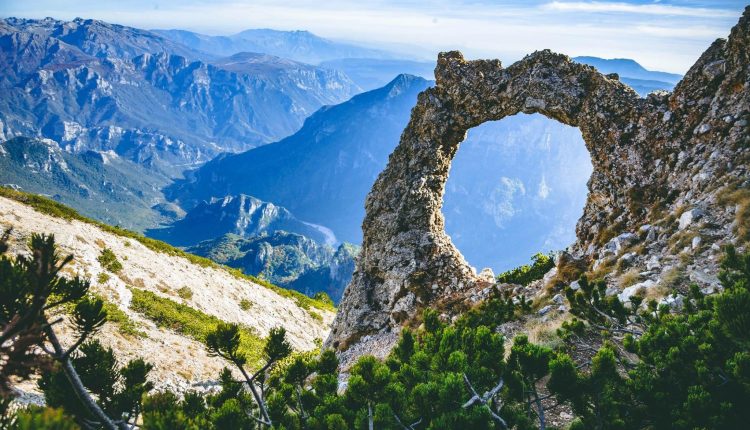
The map also showcases Rakitnica Canyon with its dramatic cliffs, crystal-clear waters, and wild landscapes. Visit Prokoško Lake on Vranica Mountain, a serene destination surrounded by traditional shepherd huts. Experience cultural and natural harmony in Lukomir, Bosnia’s highest village, with stunning vistas and preserved traditions. With detailed trails and topography, this hiking map helps adventurers explore Bosnia’s unspoiled beauty. This, it is a must-have for trekking enthusiasts exploring the Via Dinarica and beyond.
You can view our Google Hiking Map of Bosnia and Herzegovina that includes Via Dinarica trails here.
Learn more about active tourism in Bosnia and Herzegovina.
Contact your Bosnia4u specialist for more detailed info about hiking opportunities in Bosnia & Herzegovina.
Active-sports tourism…


Comments are closed.